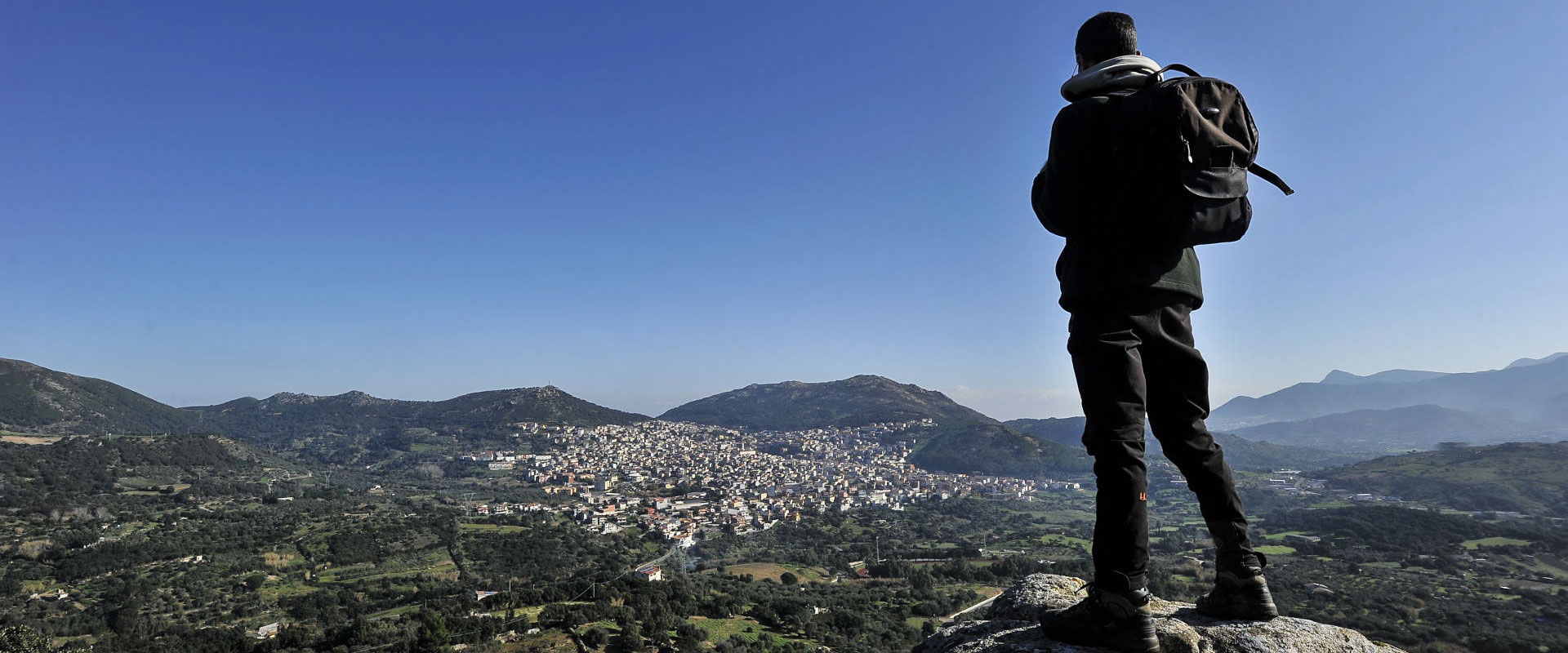
The territory of Arbus among history and nature (1st stage)
Typology:
Mountain Bike, Trekking
Themes:
Archaeology, Mine, Nature
Geography:
Hills, Rivers and lakes
Difficulty:
Easy
Duration:
Long
Starting point: CAI path n° 190 starting from Arbus along the ss.126.
The itinerary, on foot or by bike, is not difficult and it is well indicated with the panels CAI n°190. As it is quite long (17kms) we have divided it into two stages: the first stage starts from Arbus and ends in Ingurtosu, the second stage is from Ingurtosu to Piscinas.
1st stage: Arbus – Ingurtosu
The itinerary starts at about 800ms from Arbus along the SS 126 towards Fluminimaggiore. Following the indications CAI n°190 you reach the spring of Canau from where it is possible to make a detour via to visit the nuraghe Cugui.
Our itinerary goes on along a path marked by low walls crossing fields and woods.
Along the walk there is “Sa Rocca de su Casteddu”, a Paleozoic rocky mountain, go on towards the Nostra Signora d’Itria ’s churchyard and reach “Rocca Abruxada” (500m above sea level): here, leave the road to go on as far as Ingurtosu walking to the right of the lake in Pitzinurri among woods and Mediterranean scrub.
From the lake climb towards the high ground called “Calvario”, characterized by the presence of a precious Christ on the cross ( final point of the Way of the Cross closed to Santa barbara’s church).
This stage ends at the entrance of the mining hamlet of Ingurtosu near the Palace of Direction ( also called “the Castle”). This building was built in 1870 by German employees in a dominant position in comparison with the village and it was the seat of the administrative headquarters.


