Territory
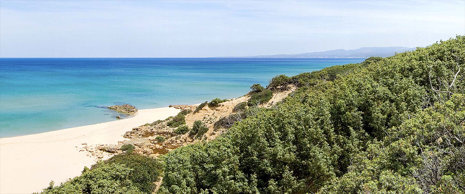
Arbus territory is one of the widest and variegated in Sardinia. It extends in the south – west of the island, from Capo Frasca to Capo Pecora, with a coast of over 47 kms where cliffs and beaches alternate. In the inland, the Mount Arcuentu area and the hills of the mines of Montevecchio, Ingurtosu and Gennamari are characterized by woods (most of all oaks wood), with the colors and the scents of the mediterranean scrub. The sandy dunes are a very important part of the territory, especially in the Piscinas zone that is one of the the widest dune system in Europe.
Arbus is easily reachable following the S.S. 131 as far as Sanluri, the S.S. 197 for Guspini the S.S. 126 until Arbus. The village, which is located at about 300 ms above sea level and far from the coast about 25 kms, is surrounded by a crown of white rock mountains that could have given it the name (from latin word ALBUS). According to other theories, the name of ARBUS could have come from the latin word ARBOR (for its large woods) for the presence of trees, in the past, or from the latin word ARABUS because in the past this land had been invaded by Arabians.
The typical structure of Arbus is typical of mountain villages with various and narrow streets starting from the main street where there are the most important buildings and monuments


